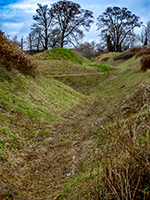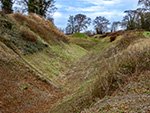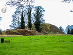
Welcome to the Thetford Castle page.
Find information and links at the bottom of the page
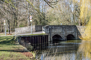
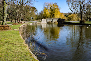
Nuns' Bridges




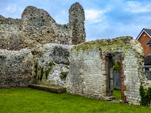
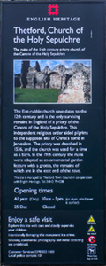
Priory of the Holy Sepuchre
Built in the 12th century and abandoned in 1536

Click thumbnail to see fullsize map
- Deal castle
- Viewing the images
The importance of the site is the nearby fords through the Rivers Thet and Little Ouse. These fords were part of the ancient road northwards through East Anglia. The river levels are much higher now than they would have been in those times due to the building of a dam in conjuction with a water mill near the centre of the modern town of Thetford.
The fords were replaced by the Nuns' Bridges. There is a walk alongside the rivers from the bridges to the water mill and town centre. The park by the bridges is home to many water fowl and is popular picnic spot in the warmer summer months.
To open a gallery, simply click on one of the thumbnails. The image will open in the lightbox. Clicking or tapping on the right side of the image will move forward through the gallery. Tapping on the left side will move backwards. Clicking on the X or outside of the lightbox will close the gallery. If you have a mousewheel, you can use that to scroll through the gallery.
To view a full size map of the area, click or tap on the map thumbnail. This will link to Google Maps.
WARNING! The large images are in high definition and the files are consequently quite big. They may take a while to download to your browser if you have a slow connection.
Links to other castles
| Other castles in England | Rochester, Deal |
|---|---|
| Castless elsewhere | Chateau d'Angers, Chateau Azay le Rideau, Carcassonne |


